
Images, drone views, and 360° capture — built for exploration and interaction.

Captureit!

UYUL Atlas transforms maps, images, and visual layers into an interactive experience. Built for story, clarity, and collaboration.

Image on image

Drop pins or split into a grid, then attach zoomed-in high-resolution photography for each zone.

Map atlases

Pick a Google Maps area, drop pins for points of interest, and attach detail imagery.

Publish & collaborate

Invite clients to view your atlas and comment directly on any region or detail.

See it in action

Two short clips showing how UYUL Atlas turns site captures into an interactive, shareable map.

From drone to atlas
From drone to atlas

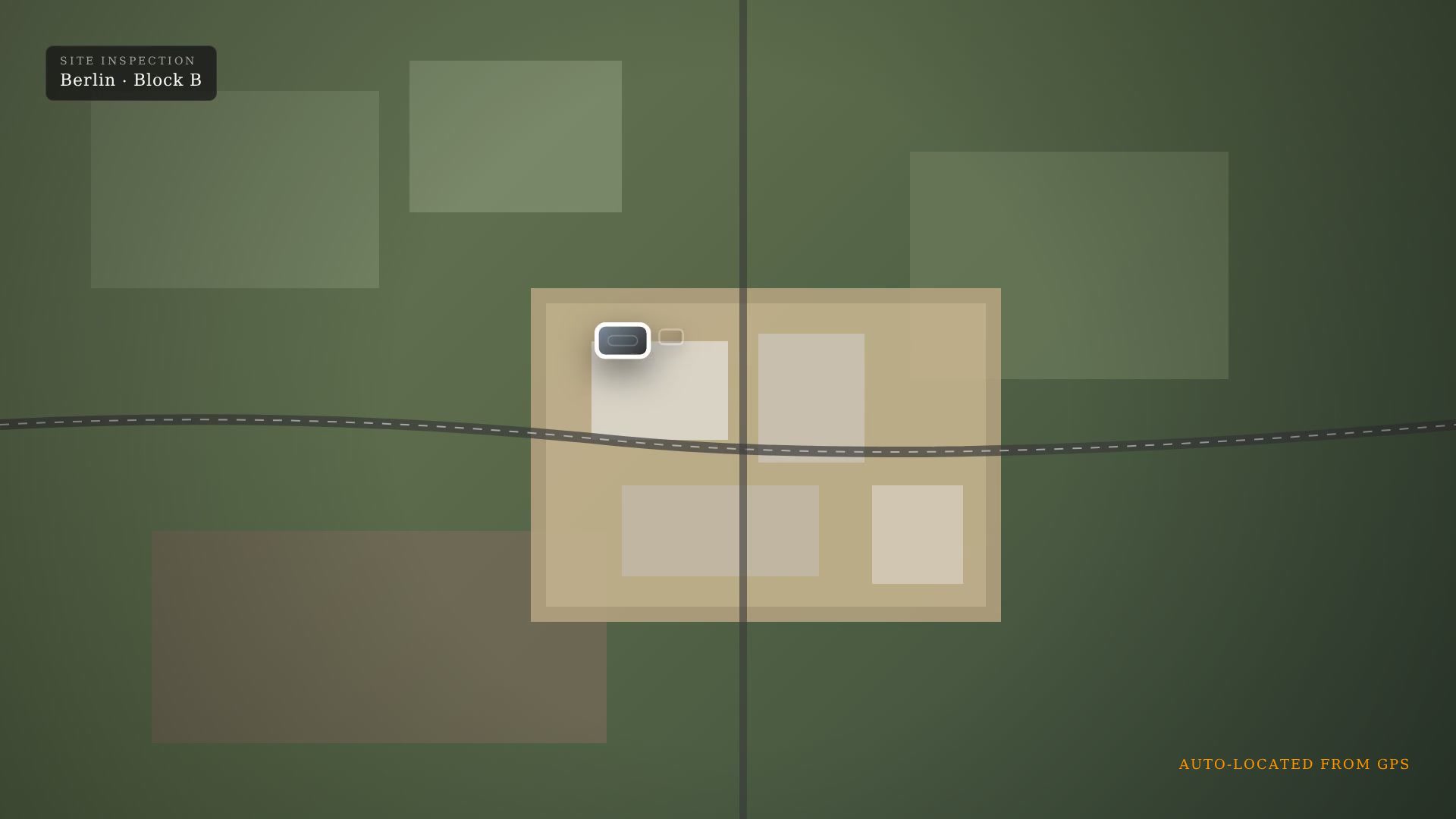
Capture images on site, drop them into UYUL Atlas, and watch every shot land on the map by its GPS location — automatically.

Facade to insight
Facade to insight

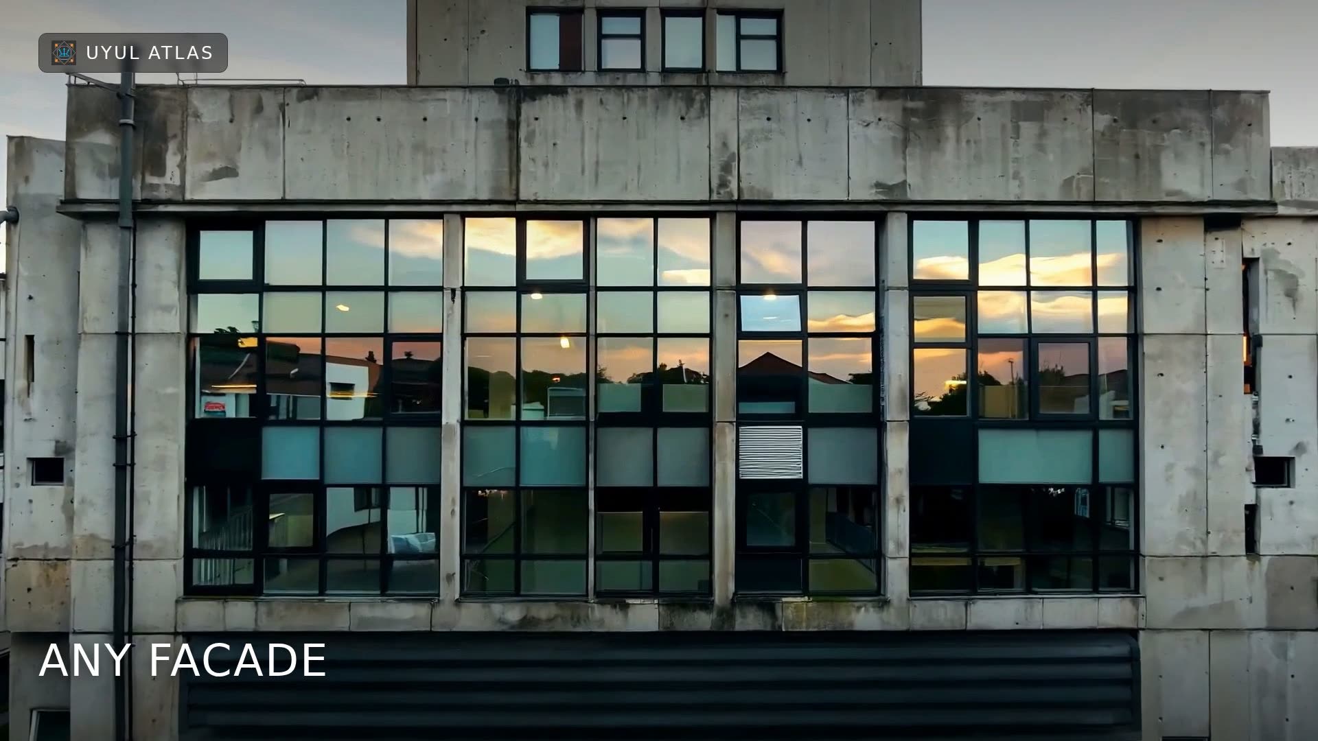
Split a building facade into a grid, zoom into any tile in high resolution, and comment directly on what you see.